Overview
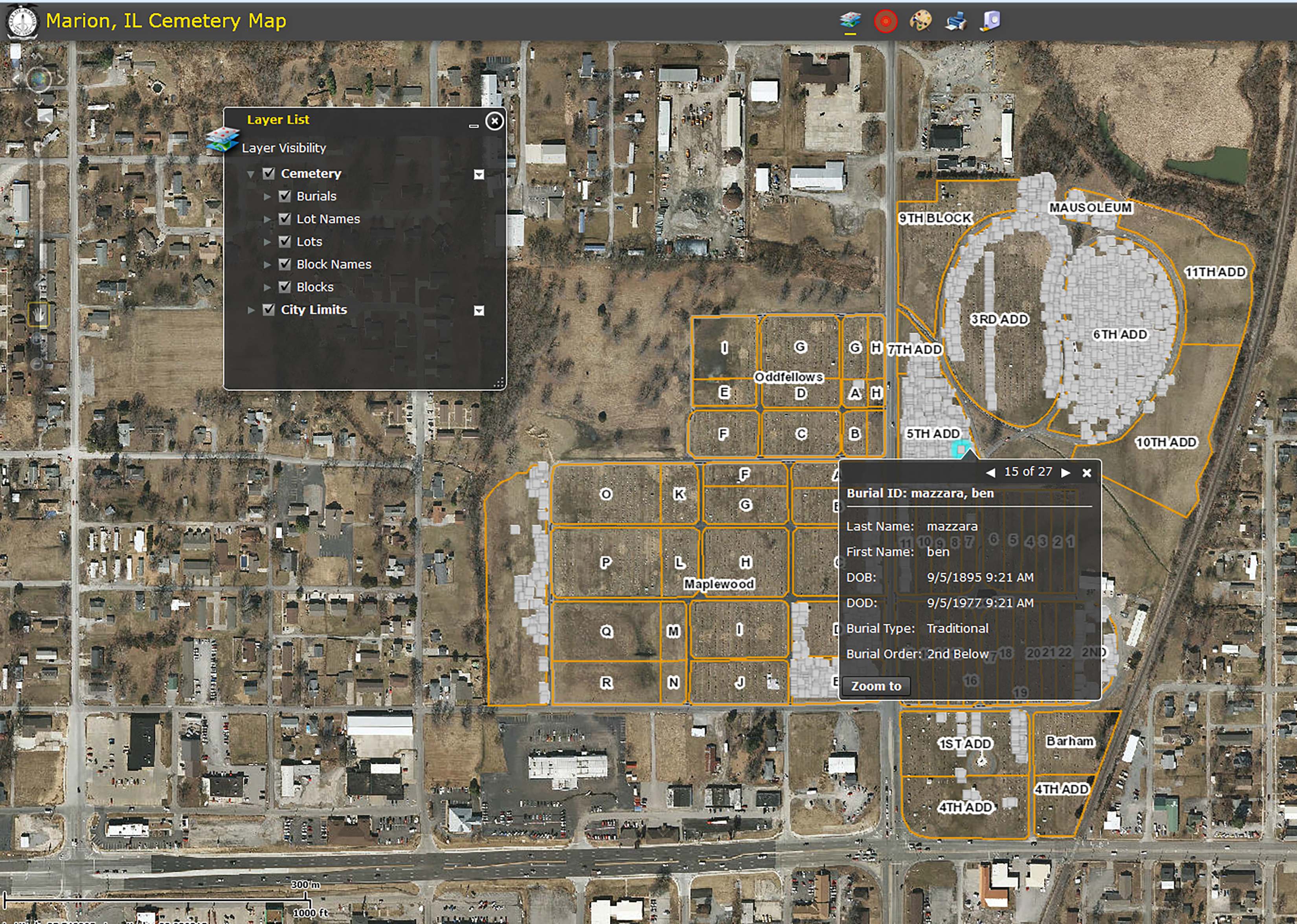
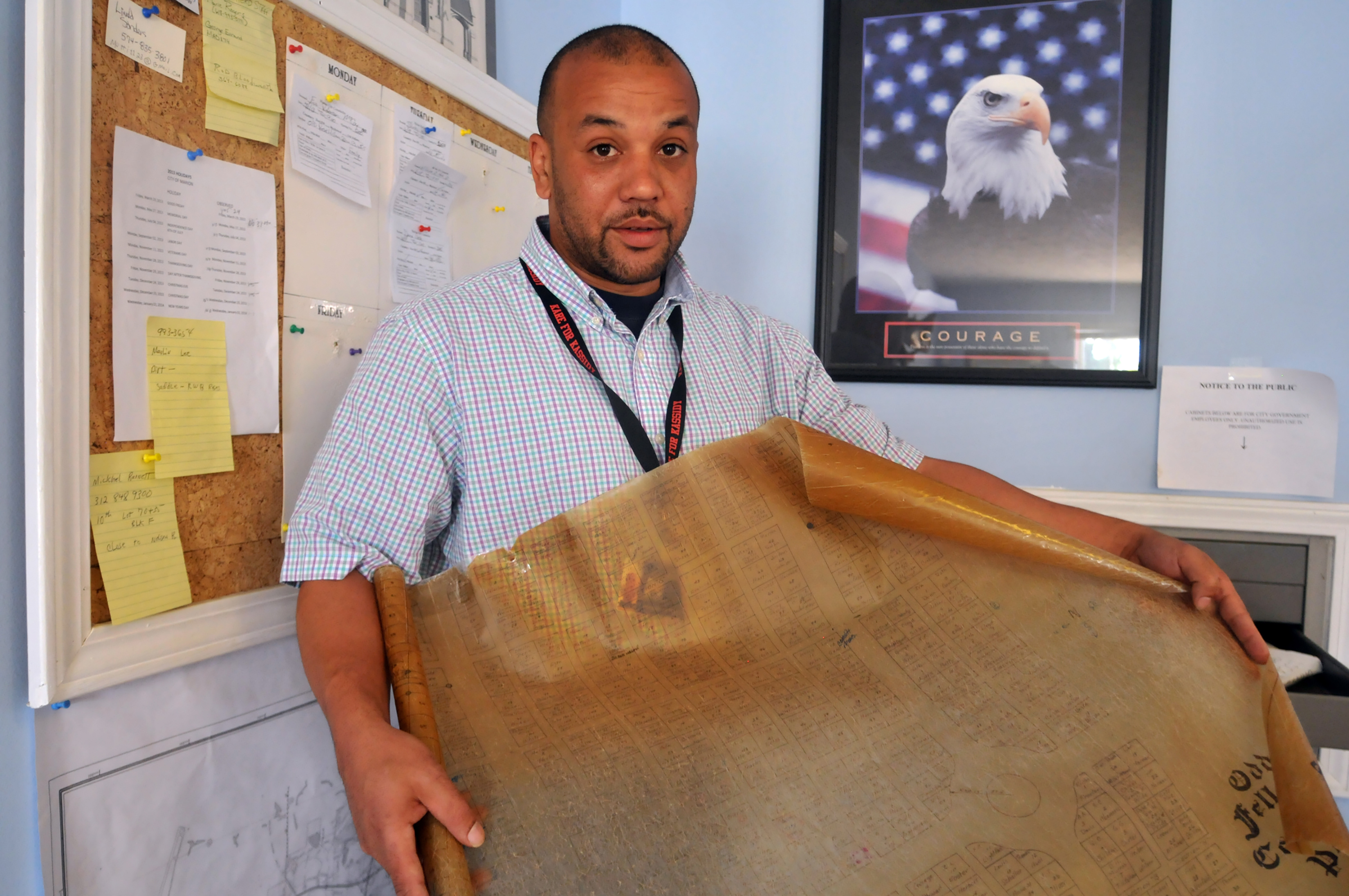
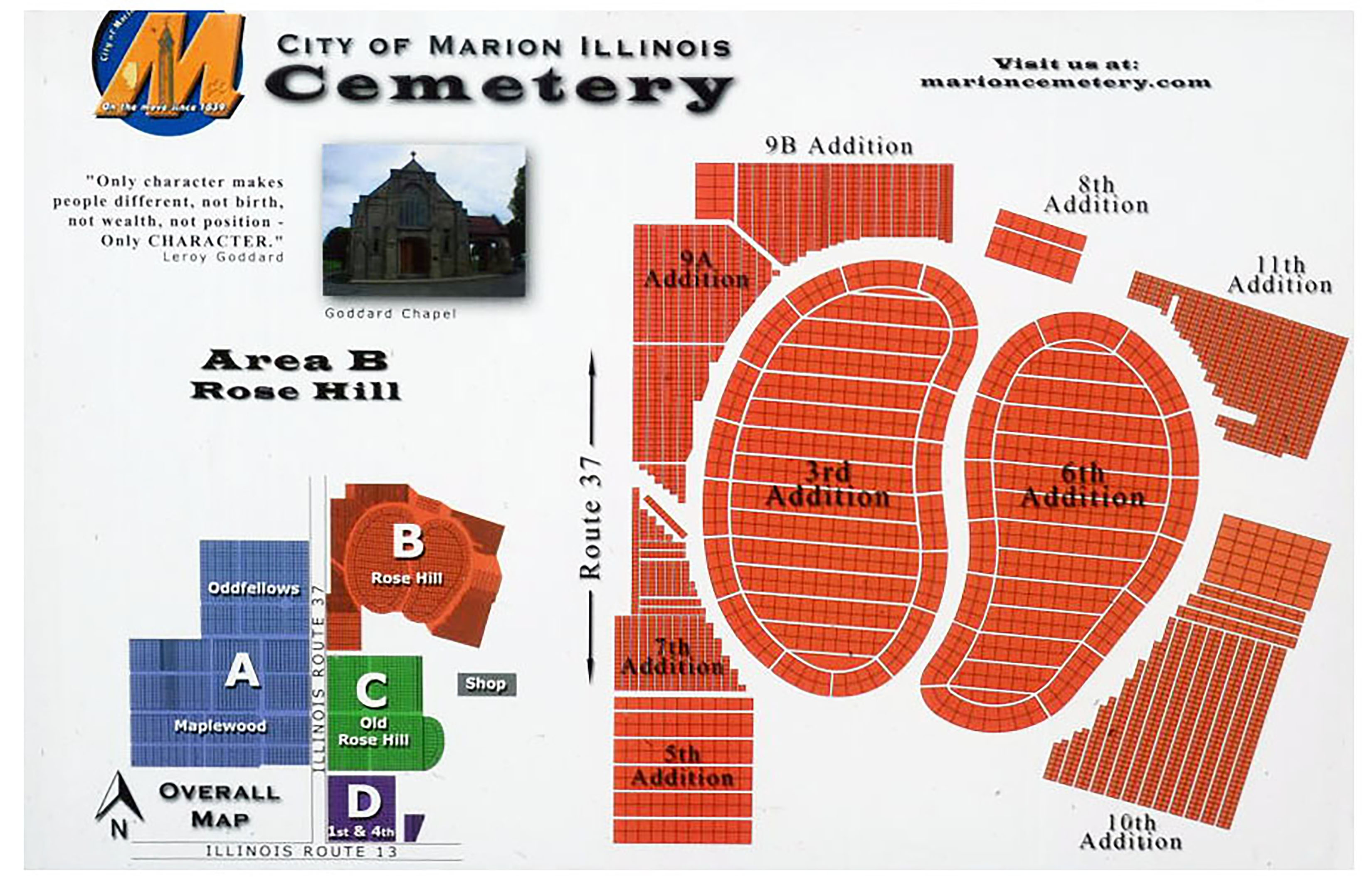
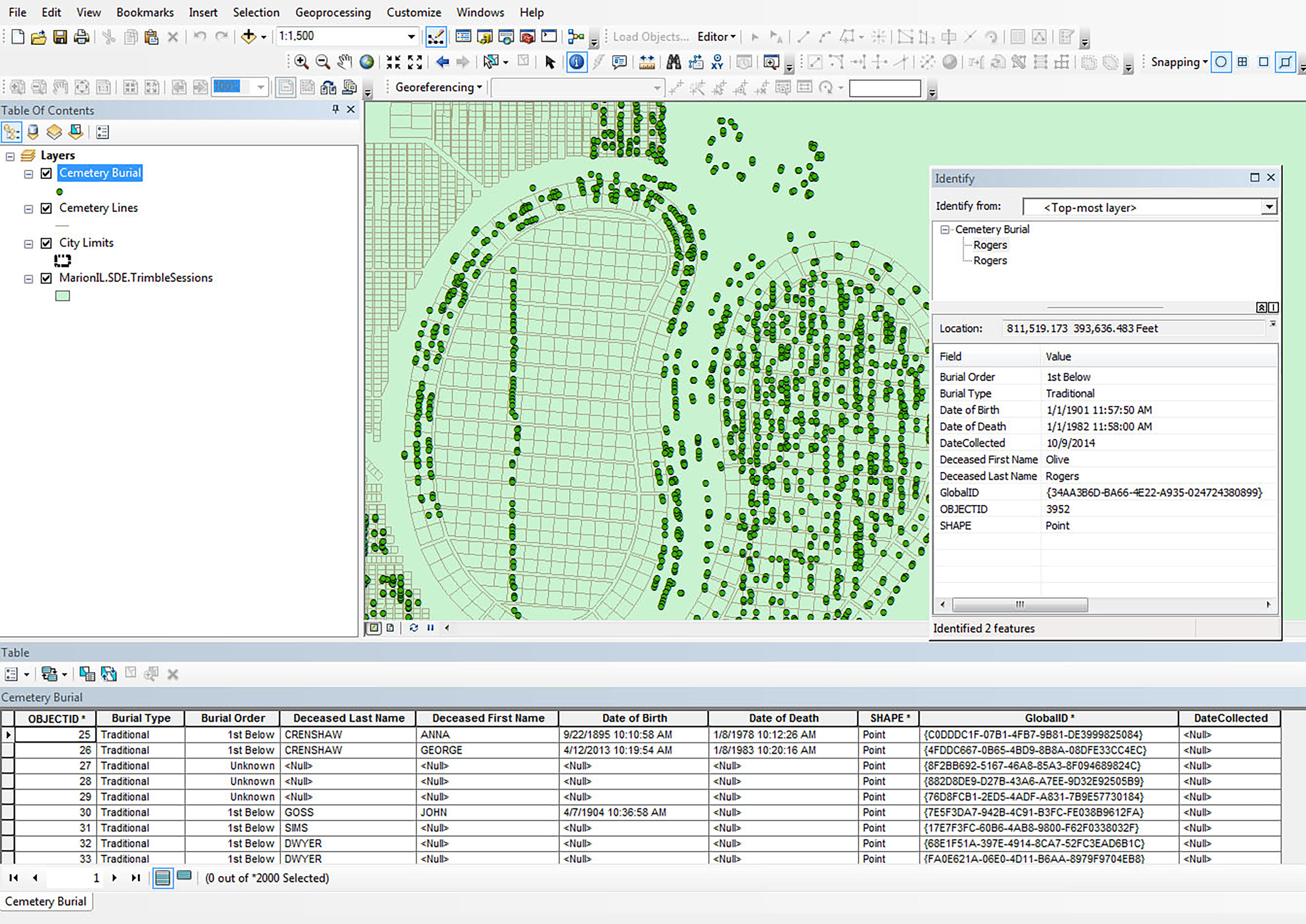
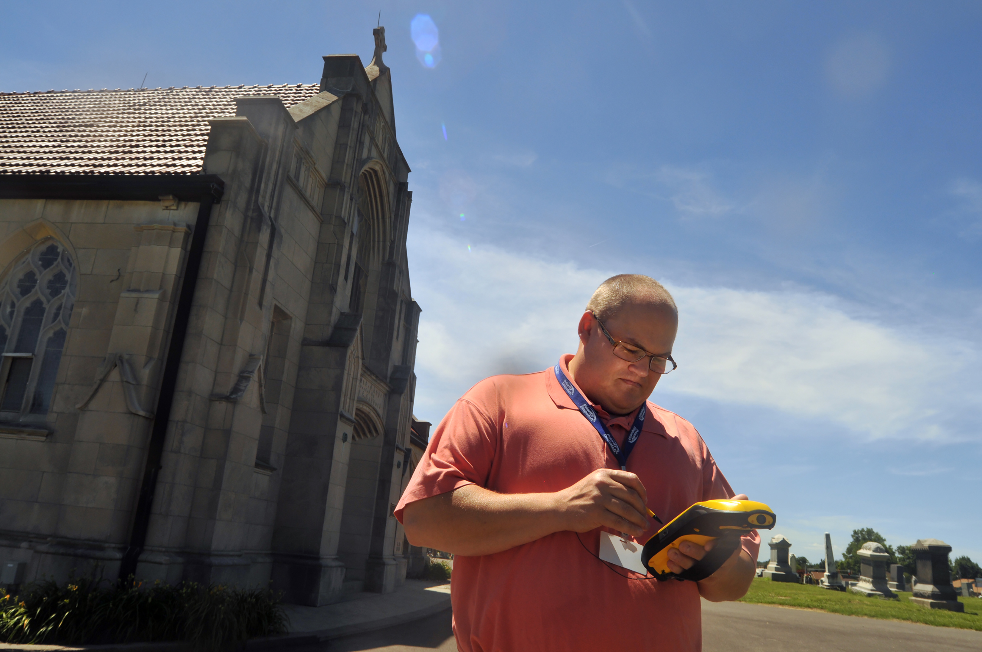
Horner & Shifrin was retained by the City of Marion to provide a web-based GIS solution for the collection of over 35,000 burial sites throughout the City of Marion and have real-time access to the cemetery map which would be easy to deploy, cost effective, and accessible to the public. The web-based GIS development and data collection extend GIS beyond the desktop for City staff. Asset location and inspection provided field verification of structure asset data. Web-based GIS module streamlined the collection and invoice management of municipal code violations and occupancy inspections.
Services
Project Scope
Details
Project Components


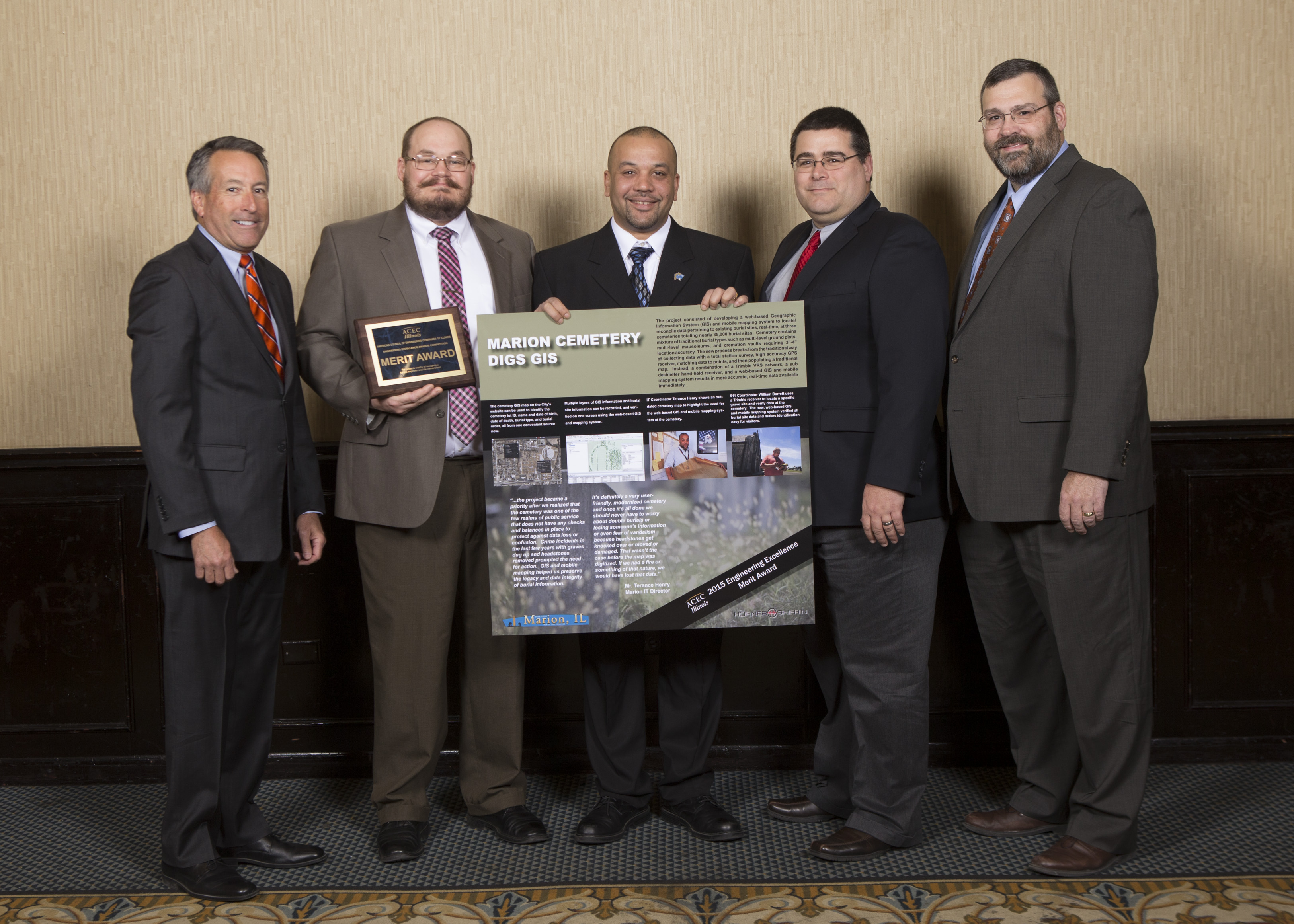
Awards Won
- Merit Award, American Council of Engineering Companies (ACEC) of Illinois