Technology
Geospatial Technology Solutions
Precision mapping with next-gen survey technology
At the forefront of modern surveying, our technology suite combines precision, mobility, and innovation. From the skies to the ground, we deliver high-resolution data through aerial acquisition, handheld LiDAR scanning, and advanced survey techniques — empowering smarter decisions across industries.
Aerial Acquisition: High-Altitude Precision, Ground-Level Impact
Using UAS (unmanned aircraft systems), drones equipped with high-resolution sensors, we capture detailed geospatial data over large areas quickly and efficiently. Our aerial acquisition services support topographic mapping, infrastructure planning, and more.
- Orthophotography, photogrammetry and LiDAR scanning
- Rapid data turnaround
- Scalable for large or remote sites
Handheld LiDAR Scanning: Mobility Meets Accuracy
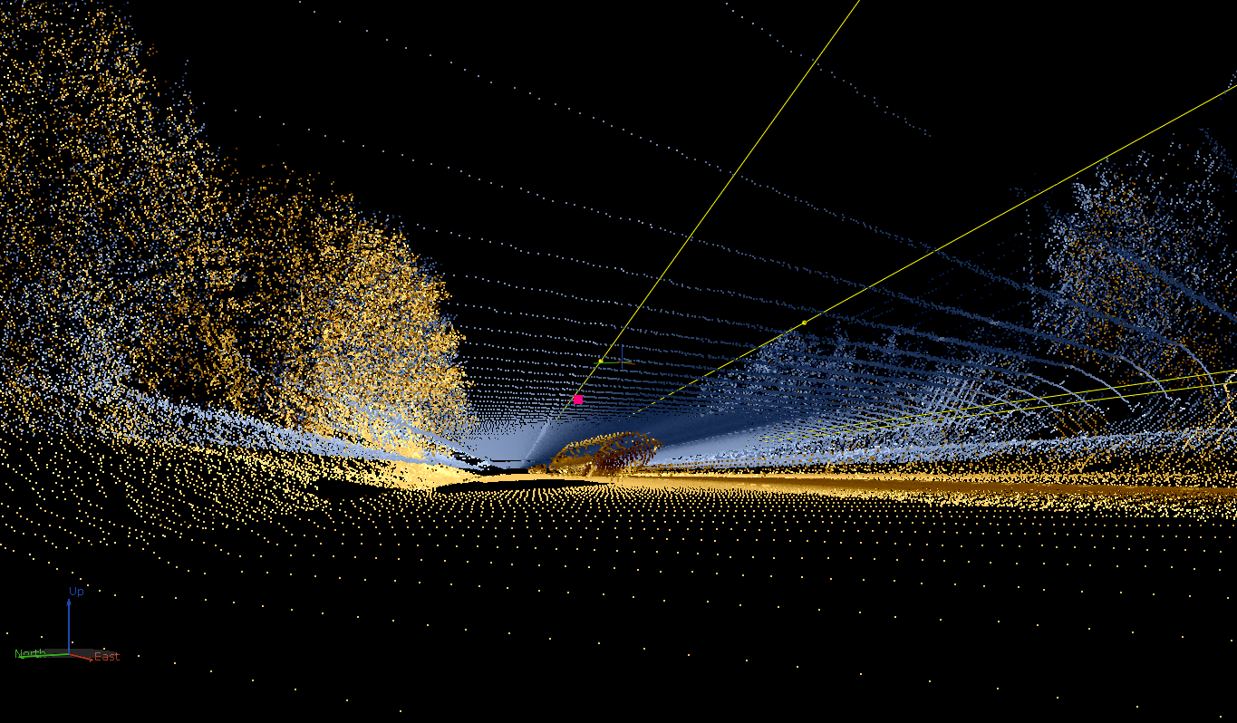
Our handheld LiDAR systems allow for agile, high-resolution 3D scanning in environments where traditional methods fall short. Ideal for interior spaces, dense vegetation, or complex structures, this technology ensures no detail is missed.
- Real-time 3D point cloud generation
- Lightweight and portable
- Ideal for indoor and confined spaces
- Seamless integration with GIS platforms
Advanced Survey Techniques: Beyond Traditional Methods
Our bathymetric survey services provide detailed underwater topography using advanced sonar and GNSS technologies. Whether for environmental studies, dredging operations, or infrastructure development, we deliver accurate, high-resolution data of riverbeds, lakes, coastal zones, and reservoirs. With a focus on safety, efficiency, and data integrity, our team ensures every depth is measured with confidence.
- Single-beam and multi-beam echo sounders
- Real-time kinematic (RTK) GNSS integration for precise positioning
- Hydrographic data processing and 3D modeling
- Ideal for shallow and deep-water environments
- Supports environmental impact assessments and engineering design