Overview
The City of Charleston, Missouri, partnered with Horner & Shifrin to launch a cloud-based mapping solution, H&S Skyview GIS, to help meet EPA requirements for identifying lead service lines. This user-friendly platform helps the City collect and organize important information about water service lines throughout the community.
The process starts with setting up the Skyview GIS system and reviewing existing city records, such as construction documents and as-builts, to map out areas where the material of service lines is already known and highlight areas where it’s still unknown. For those unknown areas, city inspectors visit properties to check the type of service line material. Using a tablet or smartphone, inspectors record details, take photos, and add notes directly into the secure Skyview GIS platform while on site.
If a property can’t be accessed or the service line material can’t be identified during the initial inspection, a specialized team uses potholing—digging small holes near the water meter—to determine the material and collect additional data. When needed, survey equipment is used to accurately map the location of meters, service lines, and water mains.
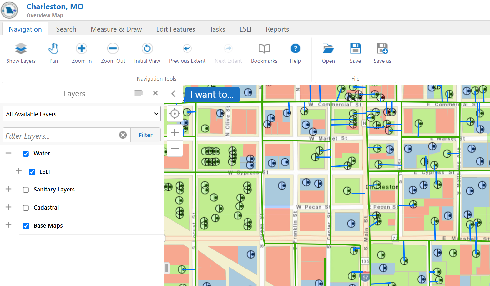
The Skyview GIS platform is designed to make analysis and reporting straightforward. It includes all the fields required by the EPA and uses clear symbols for easy identification. At any point during the project, and especially at the end, the City can generate a variety of reports—ranging from individual property summaries to district-wide overviews. These reports can be submitted to the EPA or the agency can be given access to the online mapping application for inventory and compliance review.
This approach helps the City of Charleston keep residents informed, supports public health, and streamlines compliance with federal regulations—all while making the process as simple and transparent as possible.