Overview
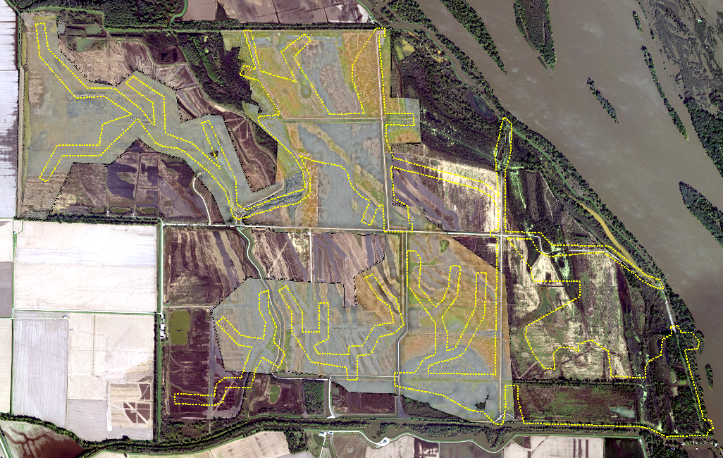
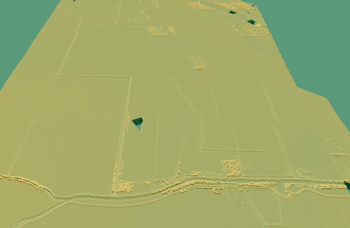
Horner & Shifrin performed topographic survey of existing conditions for approximately 135,000 linear feet of new berms and levees covering over 3,500 acres. Survey crews have used a combination of UAS aerial surveys in conjunction with traditional surveying techniques to create a surface model used by the U.S. Army Corps of Engineers and the excavating contractor to generate cut and fill quantities of the proposed levees and berms. Survey crews were able to deploy our fixed wing UAS platform to survey several hundred acres, prior to seasonal flooding, where traditional surveying methods are required. This approach has saved time and cut costs to a fraction of what would be expected if using only conventional surveying methods and equipment.