Overview
Washington University retained the services of Horner & Shifrin to prepare a comprehensive topographic and boundary survey for the entire 130 acres of the Danforth Campus. Unlike a typical survey, this project included the utilization of a full GIS database of all collected features and attributes for the creation of engineering documents.
Key aspects of the project:
– Compilation of historic record drawings of campus improvements for the location of underground utilities for field verification.
– Creation of a ‘record’ and actual boundary survey of campus property boundaries and easement data.
– Tree inventory storing location, categorization (genus), catalog (Diameter at Breast height – DBH), and photograph all trees over 6” DBH.
– Provide GPS referenced photographs for above ground utilities and structures.
– Location and categorization of all paved areas and markings. Pavement categorization separated by use type (pedestrian/roadway) and material (concrete, asphalt, ornamental brick).
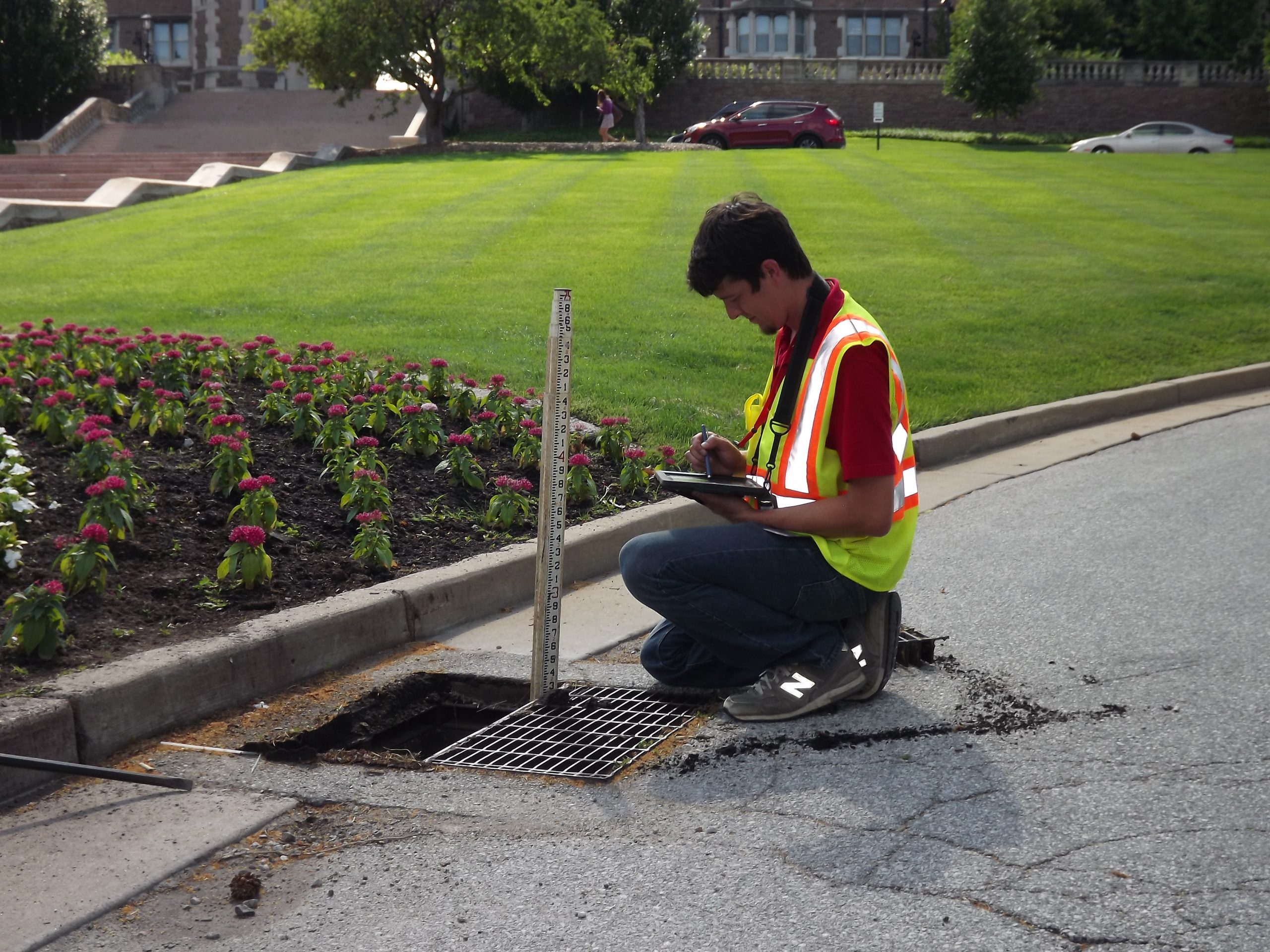
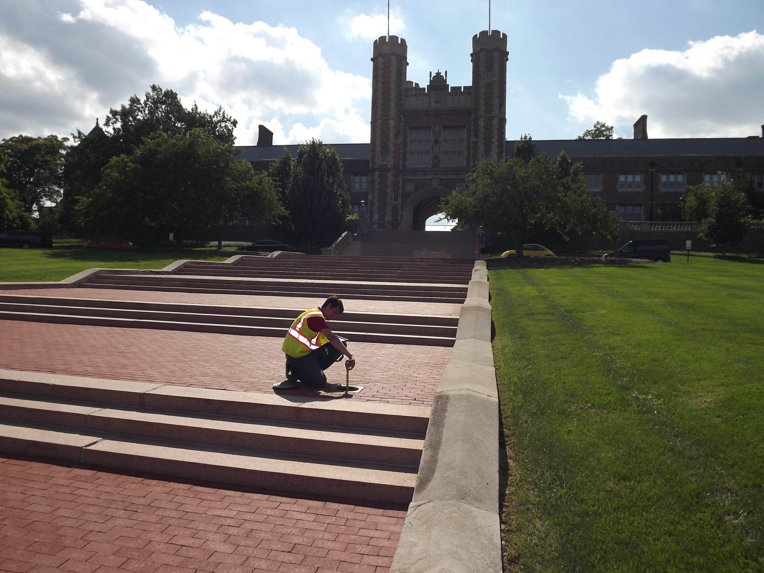
– Locate, measure, and catalog all surface utilities. Use record drawings to inventory subsurface utilities for further investigation.
– Locate, measure, and catalog all buildings and finish floor elevations.
– Deliver an ESRI compatible database accompanied by AutoCAD detailed drawings suitable for existing condition documentation for future planning and development.
– Boundary survey of existing Danforth campus and establishment of permanent survey markers for future use.
Our solution provided:
– Fast track project required a cost-effective integration of multiple data sets and various data collection systems such as: Total Station, RTK GPS, Remote Sensing, Real-time data collection, and cellular photo data collection.
– Real-time data collection and web-based maps to collaborate with project stakeholders, instantly collect field photos, and provide real-time QA/QC field check notes throughout the project during the life cycle.
– Provide an ESRI ArcGIS database for all data, drawings, photos, and other information regarding all campus features to reduce costs in future planning efforts.
– Inspection attribute data combined with linked inspection photos.