Overview
The City of Herrin partnered with Horner & Shifrin to help meet EPA requirements for identifying lead service lines. Using the H&S Skyview GIS platform, city staff and inspectors collect and organize information about water service lines throughout the community.
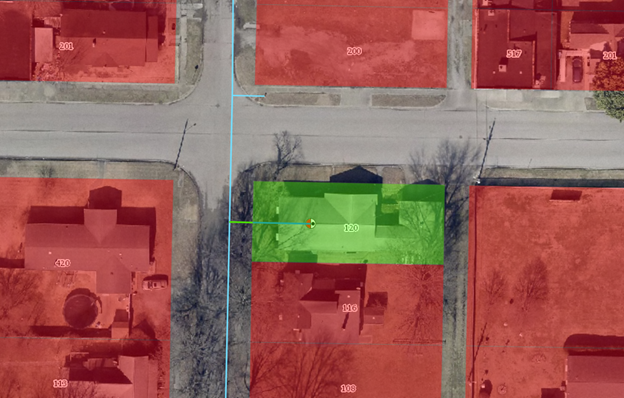
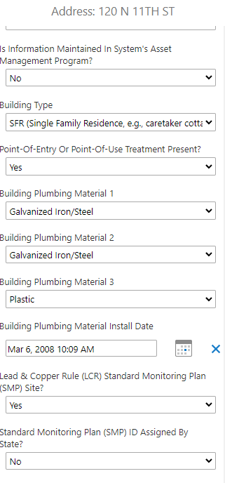
The process starts with a review of existing records, such as construction documents and as-built drawings, to map out areas where the material of service lines is already known and highlight locations where it’s still unknown. For those unknown areas, inspectors visit properties to check the type of service line material. During these visits, inspectors use tablets or smartphones to record details, take photos, and map the service line’s path from the house to the water main—all within the secure, cloud-based Skyview GIS system.
If a property can’t be accessed or the service line material can’t be identified during an inspection, a specialized team uses potholing—carefully digging near the water meter—to gather the needed information. When necessary, survey equipment is used to accurately map the location of meters, service lines, and water mains.
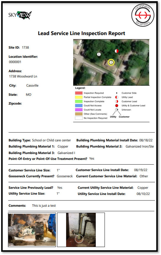
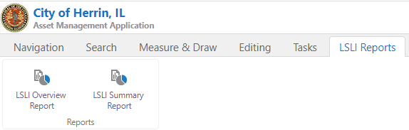
The Skyview GIS platform makes it easy for the City to generate reports at any stage of the project, whether for a single property or the entire community. These reports are designed to meet EPA requirements and can be shared directly with the EPA or accessed online for compliance review. The system’s mapping features also help city staff quickly analyze and identify areas of concern.
This approach gives Herrin a clear, up-to-date inventory of its water service lines, supporting public health and regulatory compliance in a user-friendly, accessible way.