Overview
Horner & Shifrin was retained by Johnson County 911 to provide a GIS solution replacing their outdated single user, single software and single computer system with an online, multi-user application allowing the staff and public to have real-time access to map data which would be easy to deploy, backed up and cost effective.
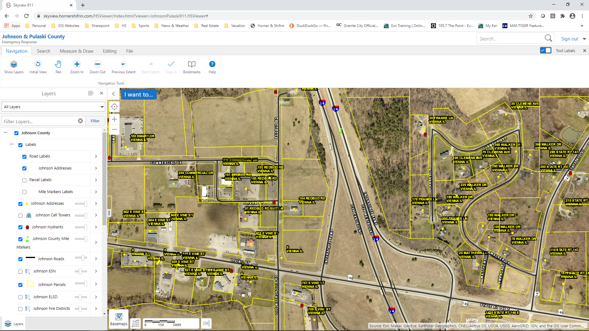
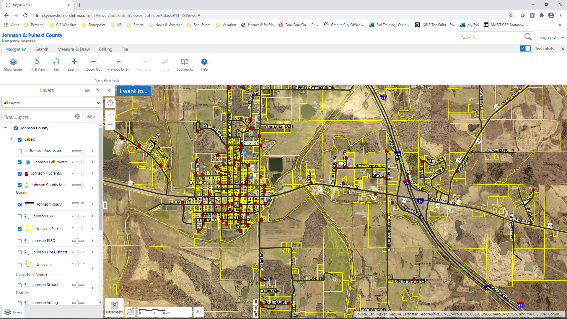
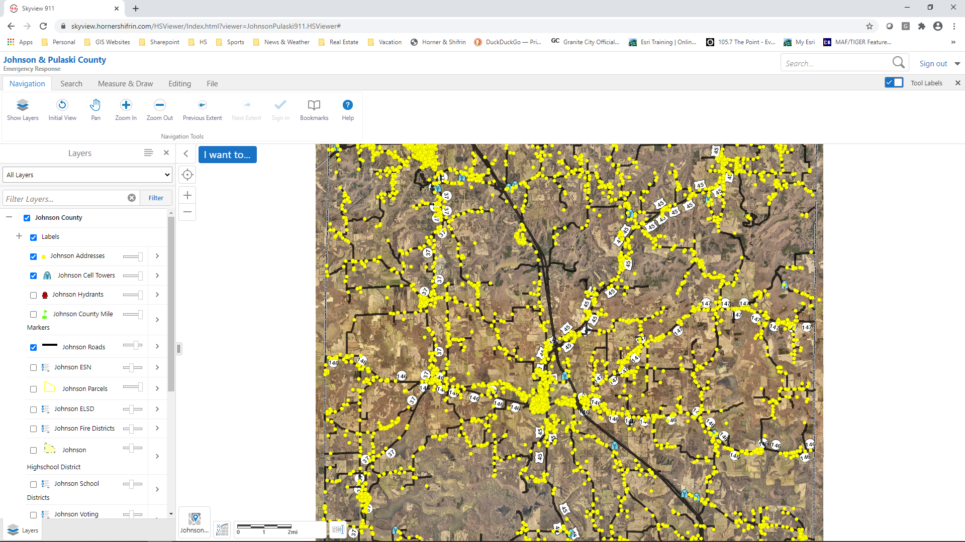
Once the Johnson County 911 Skyview GIS system was structured, Pulaski/Johnson/White County staff and public were able to access map data such as parcel, subdivision, zoning, municipal boundaries, 911, emergency services, fire stations, water districts, schools, etc. from any workstation throughout their offices and from any cellular enabled mobile devices such as Apple iPads.
One huge benefit to the Skyview GIS application, was the ease and ability for multiple people to add new addresses via a customized workflow and export/share on a monthly frequency to the 911 dispatching software. This workflow allowed any user with editing rights to follow a standard process to create a new address and meet the requirements for 911 addressing.


