Overview
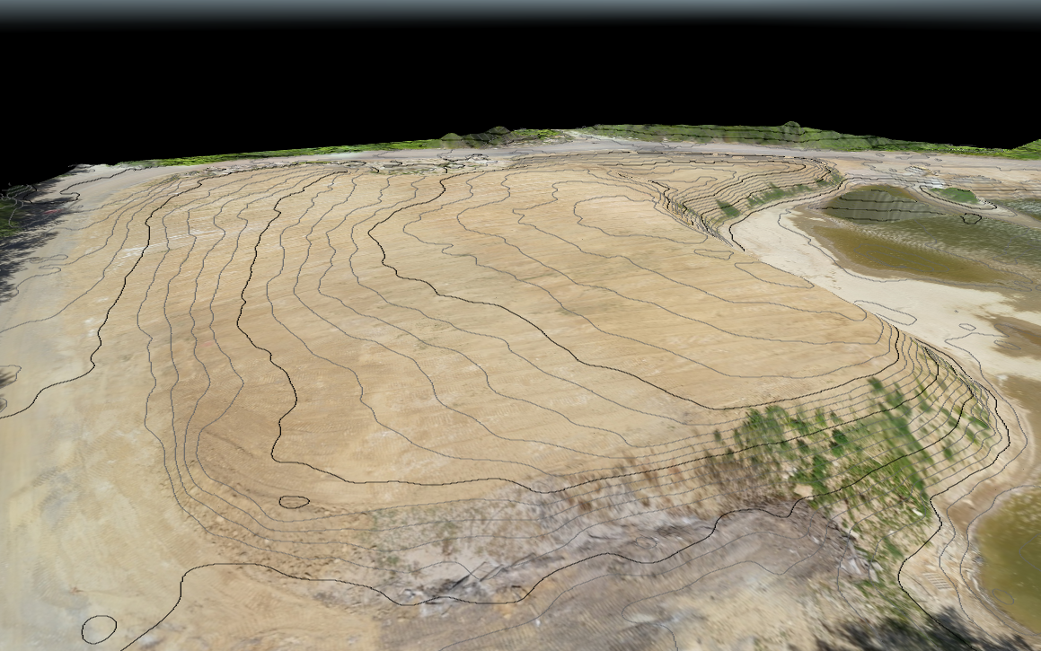
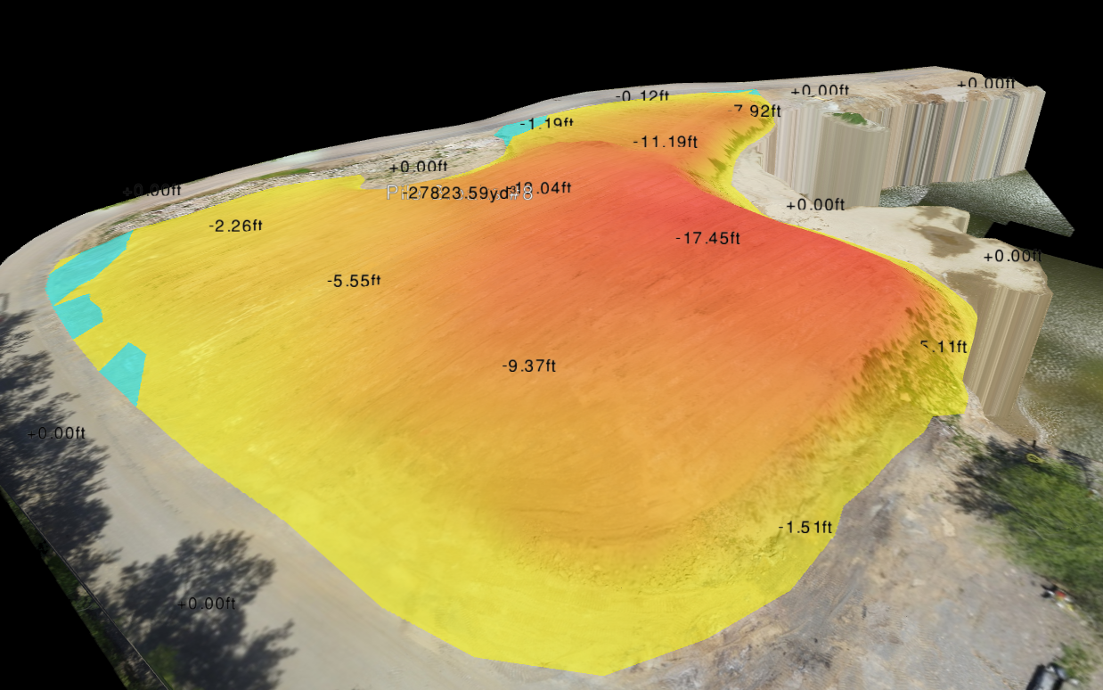
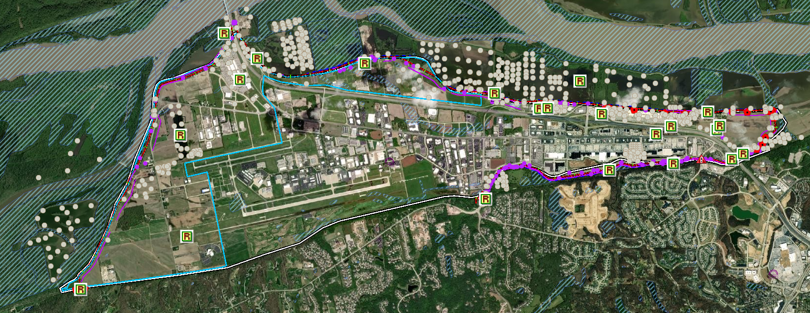
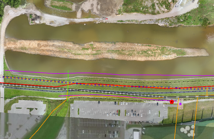
Horner & Shifrin utilized their fixed wing UAS platform to survey 12-miles of earthen levee corridor, along the Missouri River and Bonhomme Creek. The District was able to obtain accurate elevation profiles, contour data, and high resolution imagery for flood monitoring and assessment and the creation of a GIS database and web hosted application, containing all of the captured information for use by district personnel. In one weeks’ time, our UAS team was able to obtain the necessary airspace authorizations, establish ground control, and complete the aerial survey. Our UAS crew members maintained communication with the FAA, Spirit of St. Louis ATC, and the Chesterfield police department to ensure safe and successful operations in high traffic airspace.