Overview
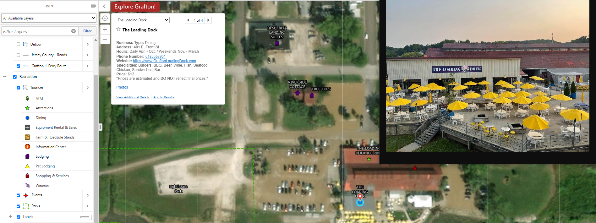
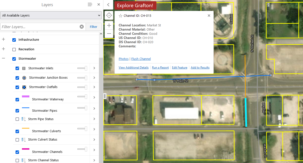
The City of Grafton, IL retained our GIS Hosting services for developing and implementing a comprehensive Geographic Information System (GIS) with a focus on the management of their Stormwater Systems, Zoning, Wards, Real Estate, Tourism, Parks, Events, and the other assets as required. This project utilized our web-based Skyview GIS platform which allow City staff to view and make edits real-time out in the field and/or back in the office.
Our Skyview GIS platform will integrate with Jersey County parcels, roads, and other feature classes available from the County. This will allow staff and residents access to the City and County data from a single source, instead of multiple sites to view data from. The Skyview GIS platform can be accessed from any internet connected device including desktops, laptops, tablets or smartphones, regardless of operating systems. This allows the client real-time access to all maps, data, agreements, pictures, videos, etc. from the office to the field and their data is literally at the touch of a button.


