Overview
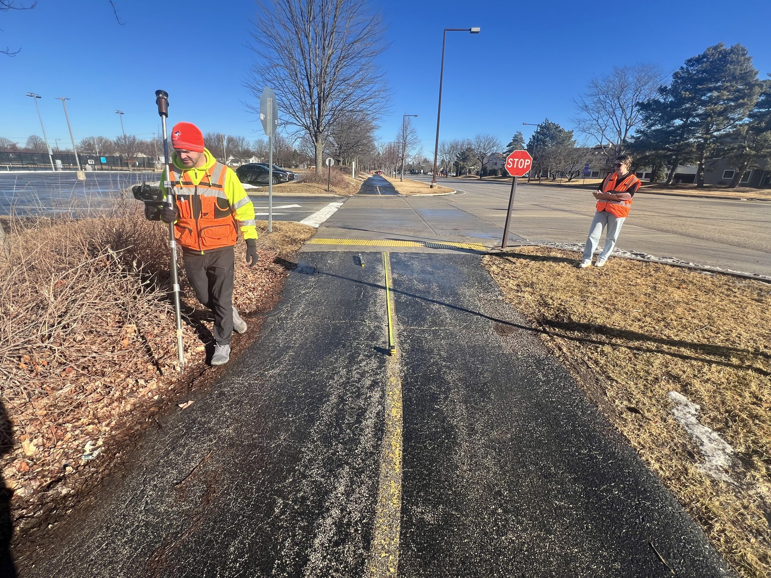
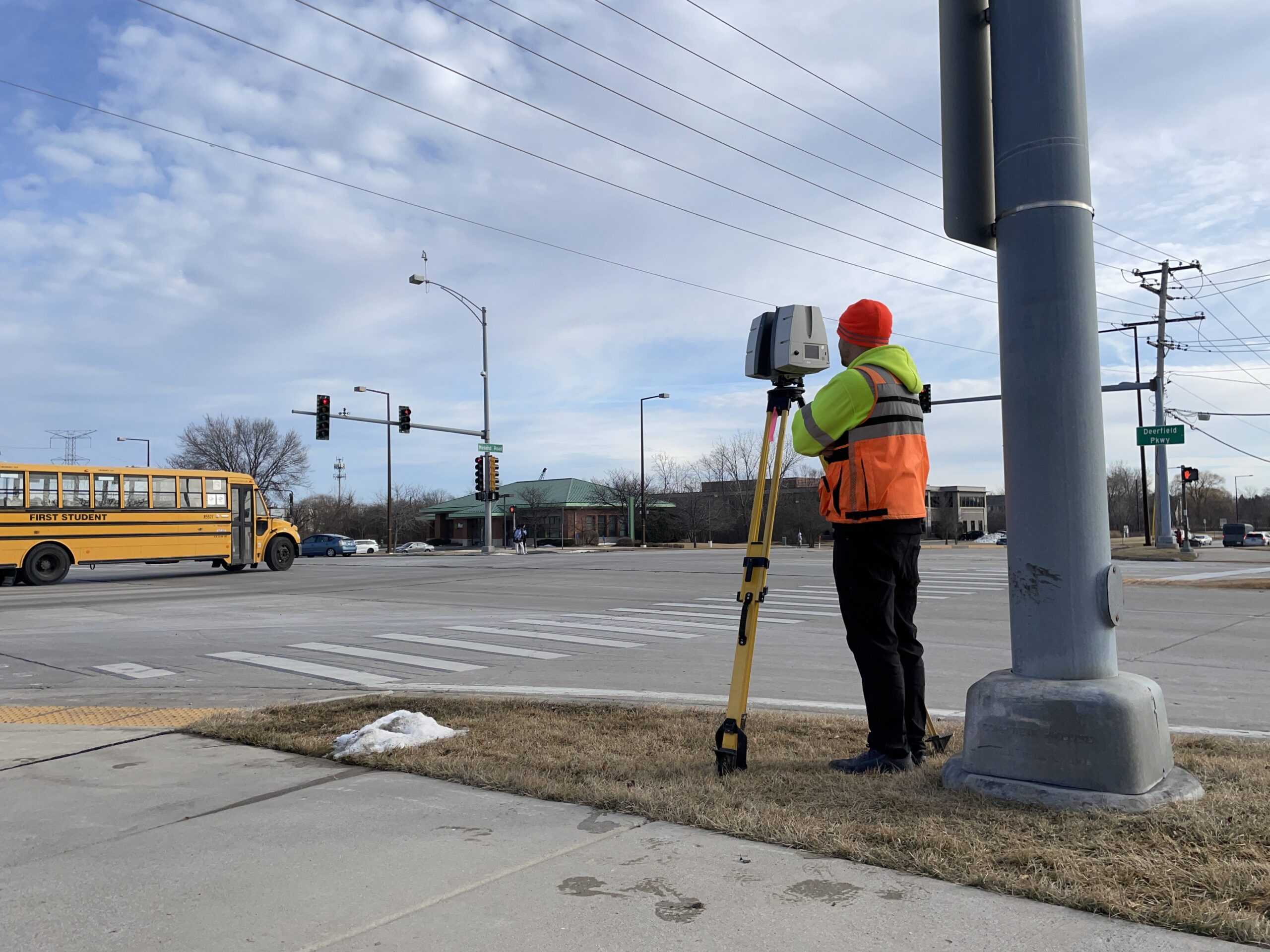
Horner & Shifrin’s field personnel recently conducted a topographic survey in Lake County, located in the Chicagoland area, to collect data on pedestrian pathways, road intersections, and pavement. The work involved traditional surveying methods, utilizing the Trimble Robotic Total Station for a major intersection with heavy traffic, and the Leica P40 scanner. The use of the scanner in this environment allowed the field crew to avoid working in the heavily trafficked intersection, ensuring their safety, while still providing a detailed survey of the pavement.
Data collected by the survey team will be used by the H&S transportation group to develop plans for pavement repairs and sidewalk improvements.