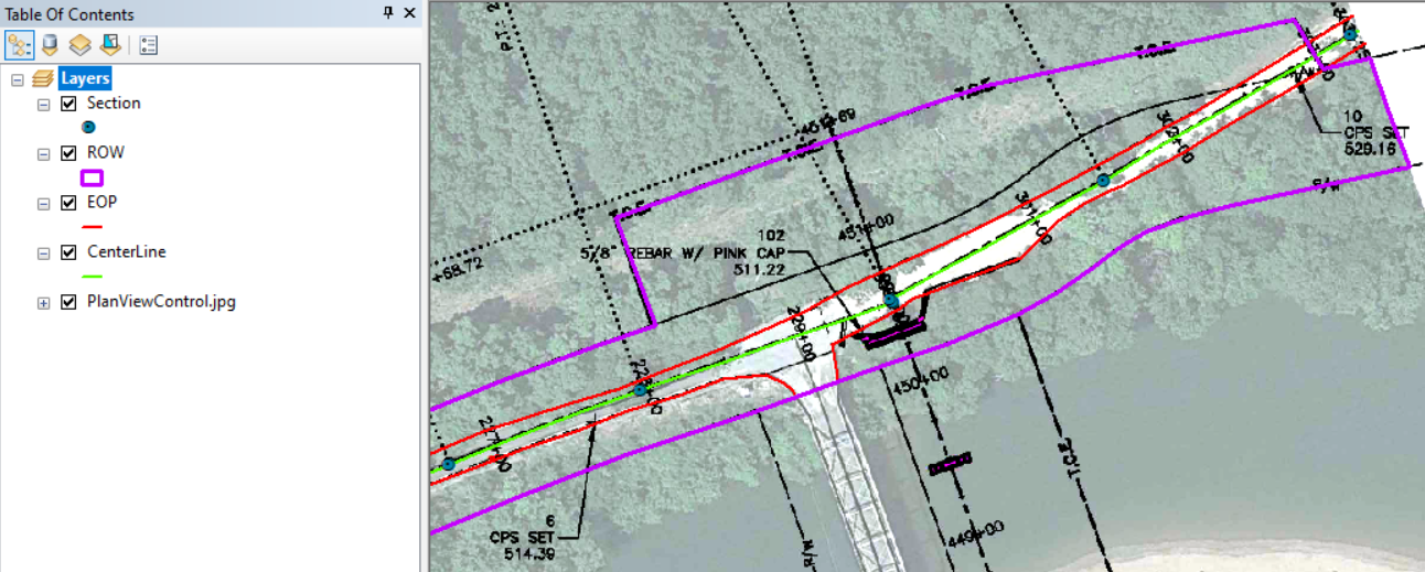
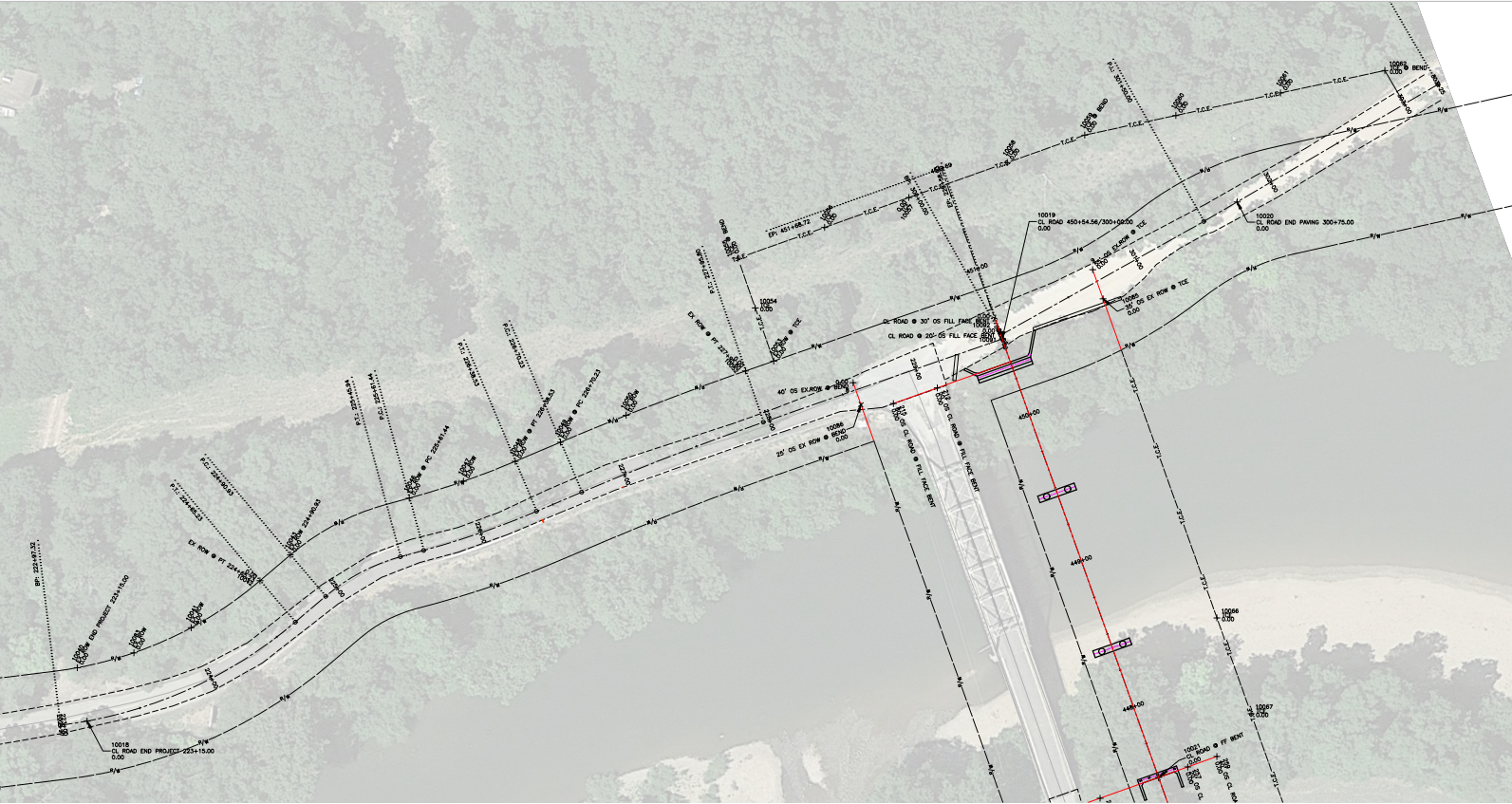
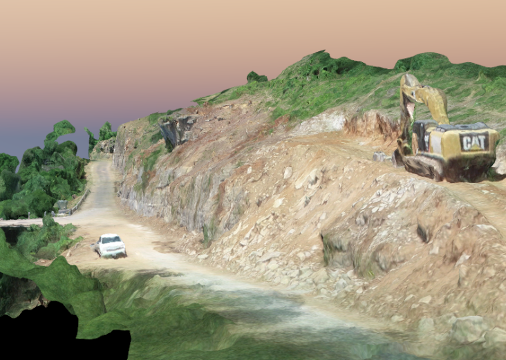
Overview
Kolb Grading requested Horner & Shifrin survey an existing rock face with a 3D laser scanner as well as analyze terrain images with the GPS collector to provide a survey CAD file that incorporates the whole site. H&S used a drone, 3D scanner, and topographic survey in some areas to create a new plot of the plan cross-sections. This contrasted the existing surveyed contour line with MoDOT’s design to easily show variances and then be integrated into MicroStation.