Horner & Shifrin was contracted by the Lake Area Wastewater Association (LAWWA) to design a regional wastewater plant and collection system for the Turkey Bend arm at the Lake of the Ozarks. The location being in a resort area results in highly variable flows winter rates at 30% of the peak summer flow. The new treatment plant includes a new fine screen, AeroMOD treatment process, tertiary filters, and UV disinfection. A portion of the plant will be taken offline to accommodate the lower winter flows. Flows from the individual treatment plants will be conveyed to the new regional plant through the construction of 12 pumps stations, including 10 duplex grinder stations and 2 suction lift stations, approximately 40,000 linear feet of 2-inch to 12-inch forcemain. The collection system will require LAWWA to obtain over 125 private easements. The old individual treatment facilities will be closed once the system is constructed and operable. Funding for the project is through the use of USDA Rural Development Loans.
Survey
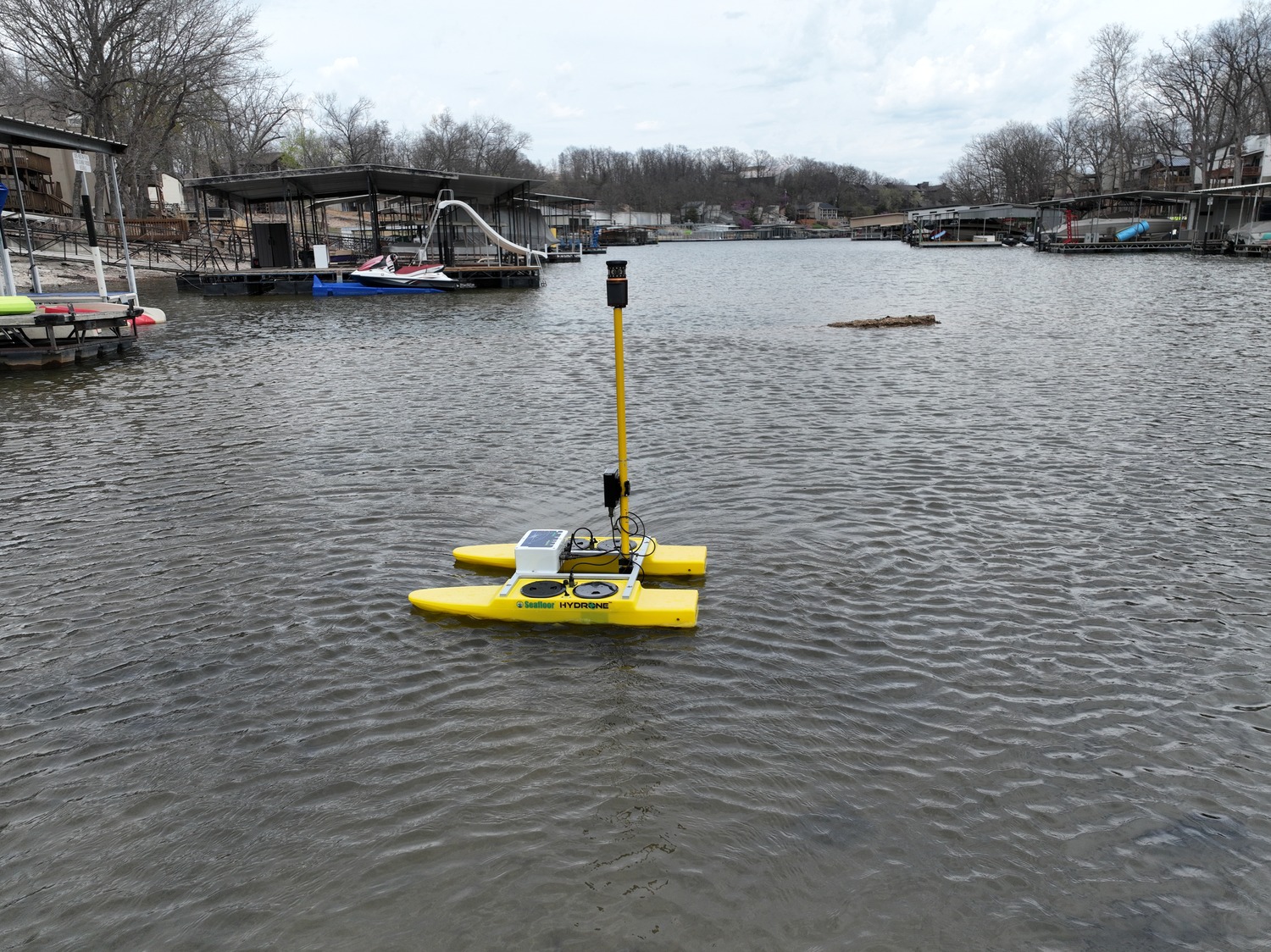
Horner & Shifrin performed deed and plat research on a parcel being approximately 20 acres and set horizontal and vertical control based on Missouri State Plane Coordinate system, NAD 83, NAVD 88, Missouri East Zone utilizing Trimble GPS. Field crews located existing property corners on and adjacent to the 20-acre subject parcel with GPS and conventional Trimble Robotic Total Station. Calculations were done based on the found monuments to establish the location of the boundary and a plat was prepared in accordance with the current Missouri Standards for an “urban” property survey. A subsequent Re-Plat was drafted to subdivide the 20 acres into two new parcels and the plat was approved and recorded at the Camden County Recorder of Deeds. All missing property corners and the new corners were set. Our surveying team deployed our DJI M300 drone to perform the photogrammetric survey of the site and overlap. After completing the site drone survey, our team post-processed the imagery with Pix4D to create 3D virtual model. This 3D model was then used to complete a virtual survey of the 20-acre site to prepare improvement plans for a new wastewater treatment plant. Horner & Shifrin also utilized RC Seafloor “Hydrone” Boat equipped with GPS to map the bottom of the adjacent cove on Lake of the Ozarks for placement of 10″ HDPE Outfall pipe.