

Overview
Using our mobile LiDAR vehicle Horner & Shifrin scanned approximately 17 miles of State-controlled four-lane divided highway including flyover ramps, cloverleaf intersections, bridge clearances and exit and entrance ramps. The LiDAR data was collected without causing any traffic disruptions, lane closures, or requiring any field personnel to work near live traffic. Once the data was reduced H&S provided a 3D Microstation drawing meeting IDOT specifications with bridge clearances and surface DTM showing the existing pavement cross slopes, superelevations, and guardrail heights. The field data was collected 98% faster and 100% safer than conventional methods, and the final product was delivered less than 30 days from the notice to proceed, ultimately allowing IDOT to keep a major improvement project on schedule and under budget.
Services
Project Scope
Details
Project Components


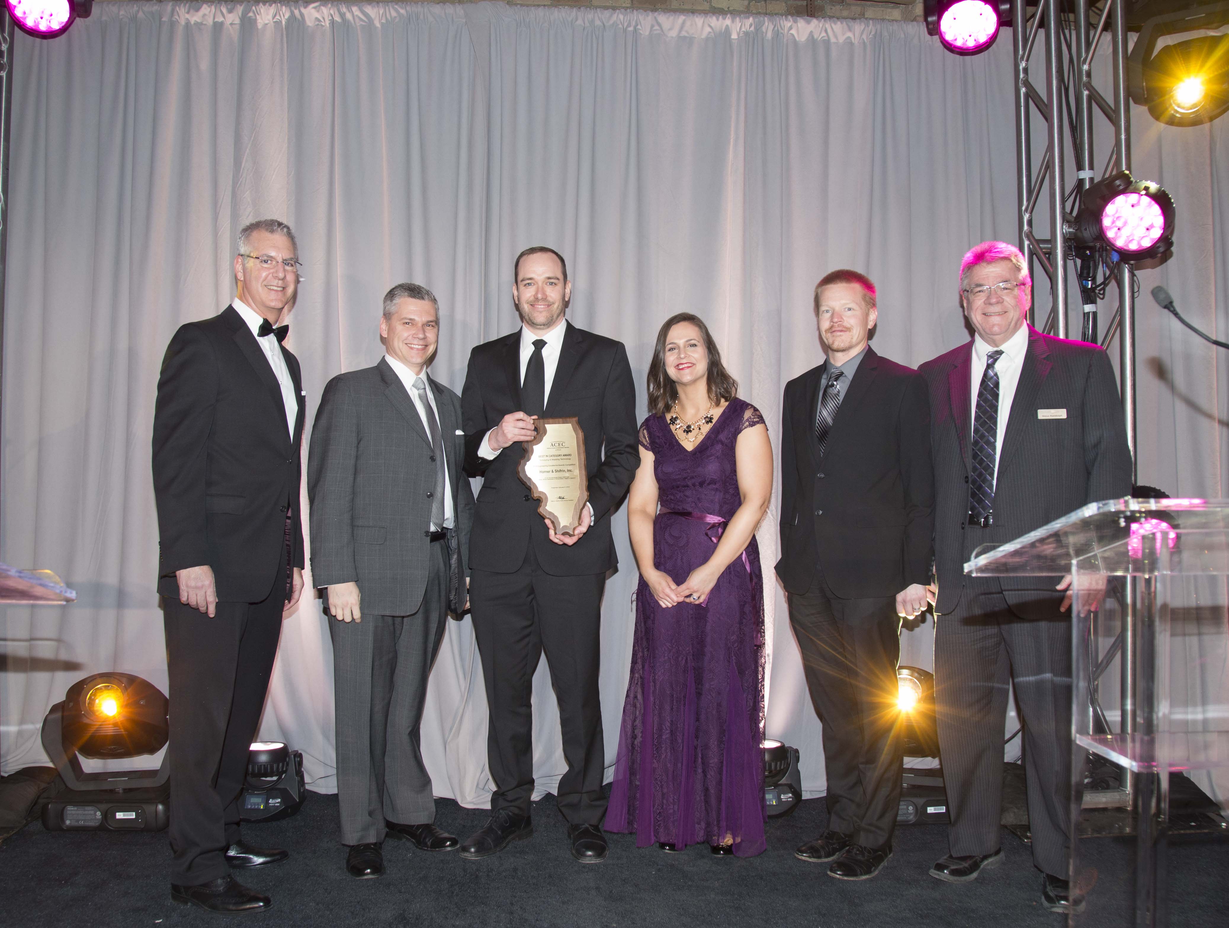
- Special Achievement Award, American Council of Engineering Companies (ACEC) of Illinois
- Best in Category Award - Surveying & Mapping Technology, American Council of Engineering Companies (ACEC) of Illinois