Overview
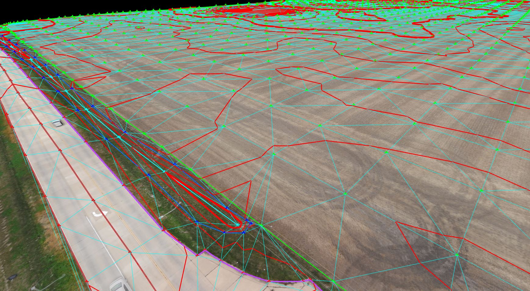
The aerial photogrammetry was conducted for the purpose of developing 3D modeling, in order to estimate earthwork quantities, and to confirm the accuracy of measurement when compared to the traditional mobile surveying methods that were also utilized on the project.
FAA certified drone pilots and a diverse fleet of aircraft including fixed wing and multi-rotor (four-propeller) UAS systems were utilized to obtain high definition videos or photos. Imagery was obtained by flying drones over the construction site at the beginning and upon conclusion of the construction work.
The images recorded were stitched together into 3D models and 2D maps using one of the most advanced software programs for data processing with photogrammetry and point cloud processing. Once the 3D models are completed for both the start and end of the project, analysis will be performed to estimate the earthwork volumes.
The intent of this test application is to prove that utilizing aerial / drone surveying will make the collection of data more cost effective when compared to estimating earthwork quantities using traditional surveying methods.